


InfraCloud
Our sensor platform

InfraCloud
InfraCloud is our holistic infrastructure management platform.
This also means you can manage all your sensors in the same solution
as all other data about your infrastructure.
Select your objects and you will see all sensor data
as well as all manual reports, plans and the current maintenance status.
Everything in one place.
Overview
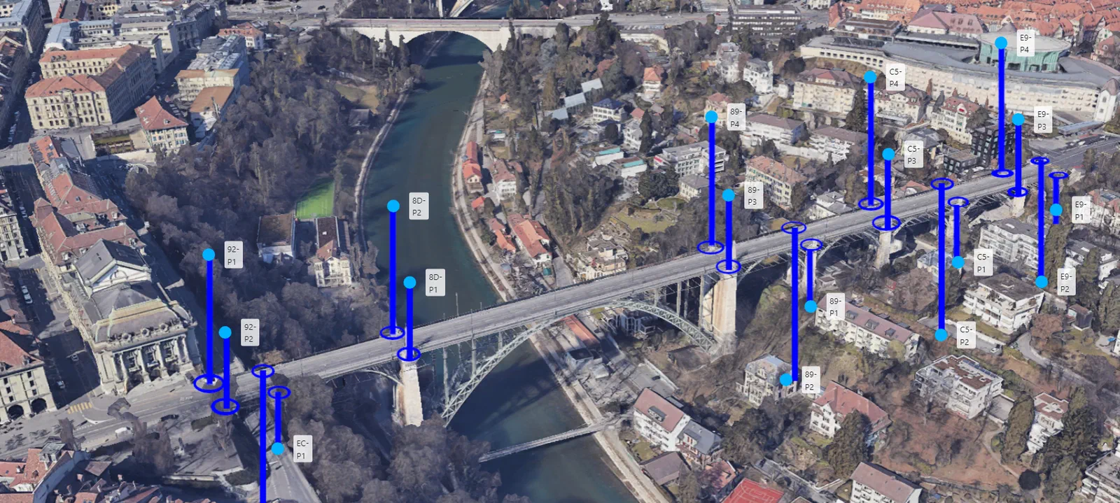
Place your sensors in their surroundings
and get a visual overview of them.
Use your own plans or choose from countless freely available maps.
GIS systems can be seamlessly connected and integrated at any time.
Of course, simple overview lists
and search functions are also available.

Alarming
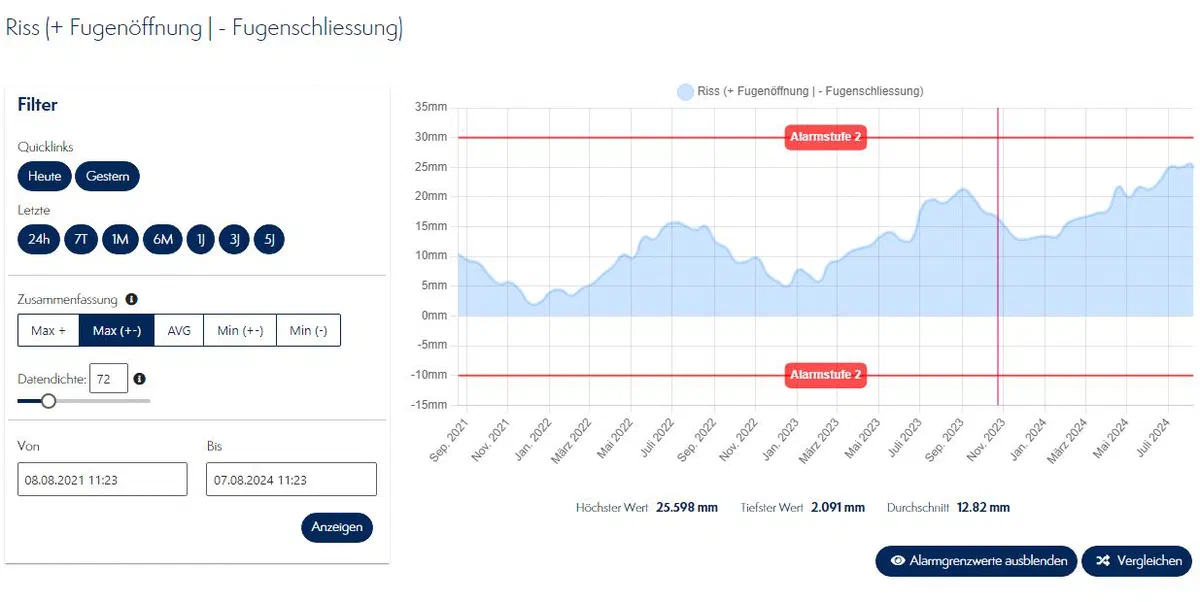
- Alarm system with several escalation levels
- Alarms by email, SMS or countless external services
- Monitoring of sensor status such as battery or power failure

Compare
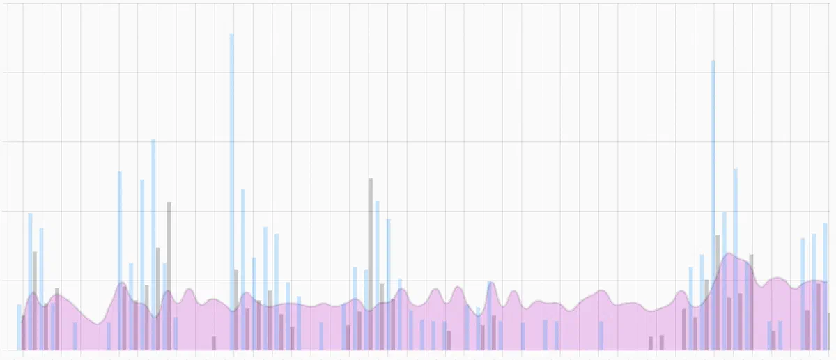
- Compare sensors with each other
- Put them in relation to other sensors
- Compare different objects with each other
Long-term monitoring
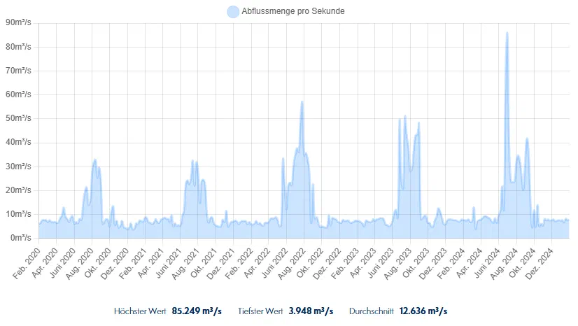
Define for yourself
how and for how long sensor data should be stored.
For long-term monitoring, older data may become less important and does not need to be stored at full resolution.
If data is recorded every 5 minutes, for example, you may only want to keep the hourly values after one year.
You define exactly what you want for each sensor, and the cloud continuously takes care of data management automatically.

Conversions
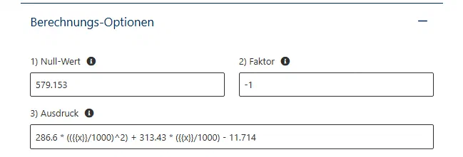
Sensor data can be converted live at any time, which also allows new data to be produced.
For example, a radar measures the distance from the sensor element to the water. In the cloud, however, you want to visualize the water level. The data can simply be converted for this.
Store your own mathematical functions
Virtual sensors can also be created
that combine data from different sources.
Store your own algorithms, for example to calculate a hypothetical freezing level
from several measuring stations.